I remember when navigation meant opening a paper map and hoping I could refold the creases in the right order so the rectangular map would fit back in the glove box.
I used to keep road maps in the car. Rand McNally kept me company. AAA travel agents walked me through the maps and helped plan my route.
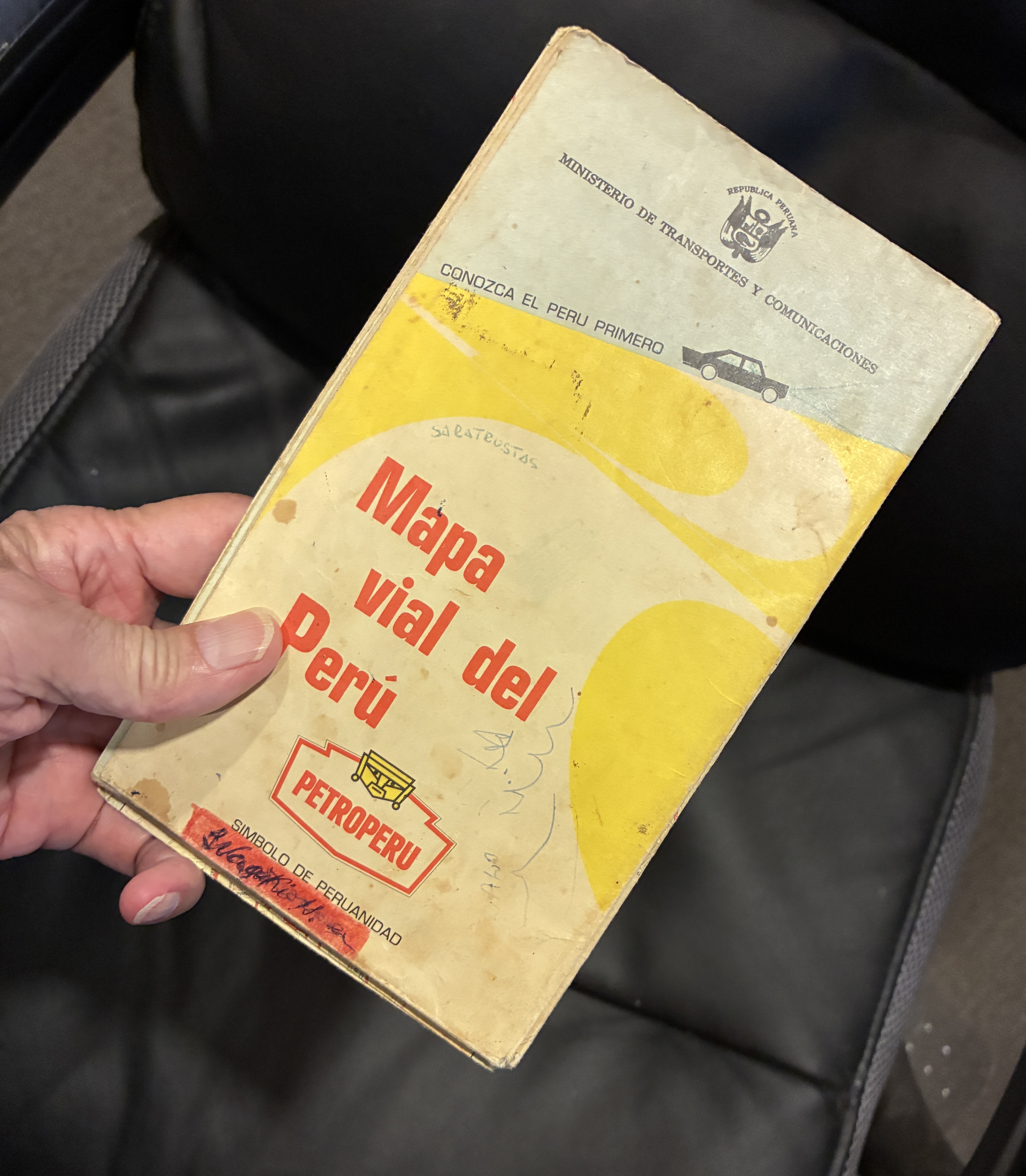
On family vacations, my dad stopped along the way, unfolded the map across the hood, and tried to figure out where we were.
In the 1960s, cities expanded, roads changed, and maps quickly fell out of date. Countries change names. Borders move. Entire countries disappear.
Columbus dealt with a similar problem, although his maps had considerably more blank space than mine. On his first voyage in 1492, he charted islands and coastlines in the Caribbean, adding information to the European maps. Early explorers thought they had reached Asia.
Maps have always been snapshots of what somebody thought the world looked like at a particular moment.
Africa provides plenty of examples. The Gold Coast became Ghana. Northern Rhodesia became Zambia. Southern Rhodesia became Zimbabwe. The Belgian Congo became Zaire, then the Democratic Republic of the Congo. Those changes reflected independence, revolution, political change, and the rejection of colonial names.
Then the Soviet Union became the mother of all map revisions. If you owned a map of the USSR in 1990, you had a collectible.
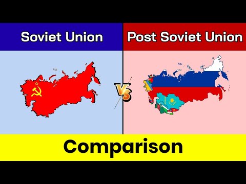
In 1991, the Soviet Union disappeared, and 15 independent countries emerged from its former republics. Russia, Ukraine, Belarus, the Baltic states, the Central Asian republics, and others became countries rather than chunks of a giant red blob.
Imagine being the guy at the map company who got that phone call.
“Hey, Bob. You know that giant country we’ve been printing for 40 years?”
“Yeah.”
“Well, it isn’t there anymore.”
“Great. I’ll call the printer and see if we can cancel that last order.”
The world’s constant change is one reason digital maps make so much sense. Digital maps can be updated overnight.
Then MapQuest came along.
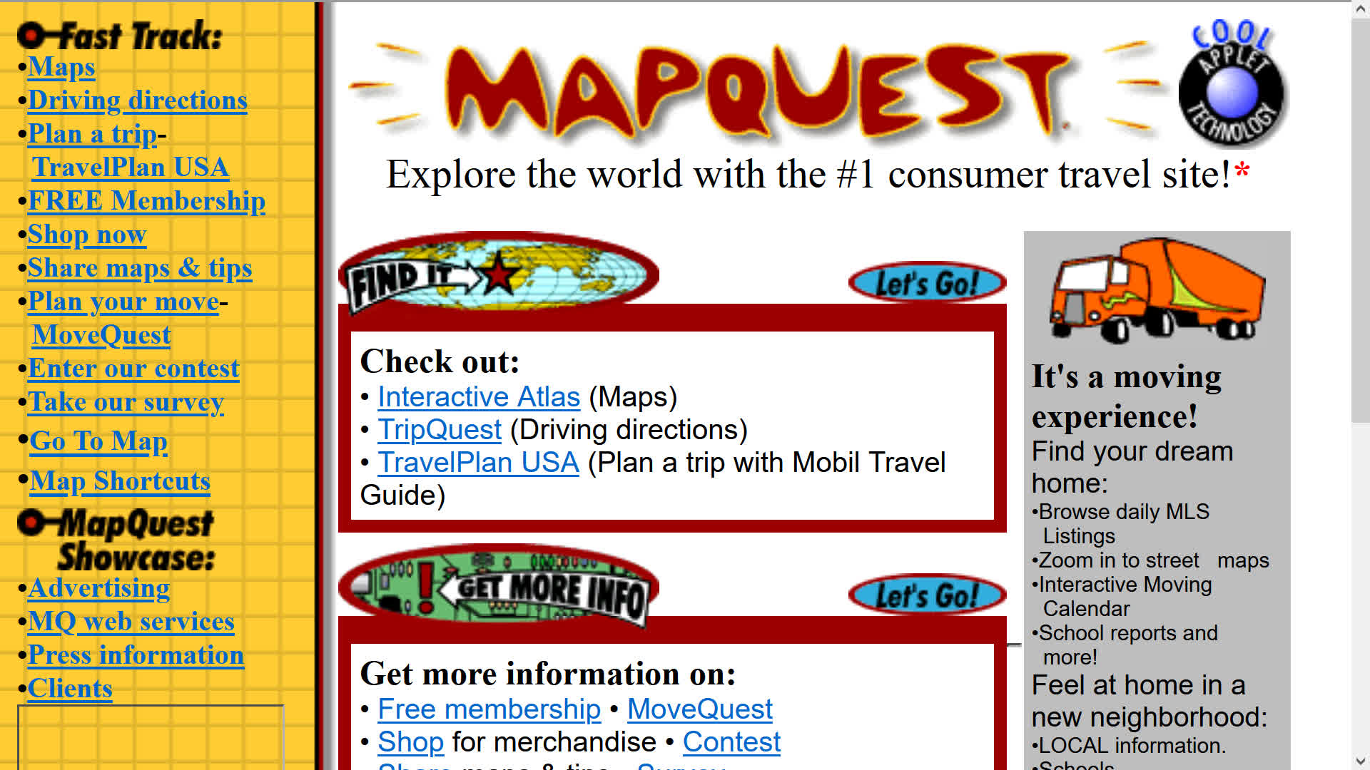
MapQuest moved the old business of producing maps and driving directions online. In 1996, it launched its web mapping service and became a pioneer of online interactive maps and driving directions. I could access MapQuest on my Palm Treo. I had to write down the driving directions, though.
In the early 2000s, MapQuest gave up its top spot to predatory Google Maps and Apple Maps. Between the two of them, they turned everybody’s phone into a dashboard navigator.
I used them both until today, when I went back to MapQuest.
There’s a reason.
In January 2025, the federal government renamed the Gulf of Mexico as the Gulf of America. The Interior Department updated the federal Geographic Names Information System and directed federal agencies to use the new name. The United States couldn’t make the rest of the world change its maps.
Then in 2026, the government changed Lake Ontario’s name to Lake America.
Google Maps and Apple Maps changed their digital maps. U.S. users see Gulf of America, while users in Mexico and Canada see Gulf of Mexico and Lake Ontario, respectively.
That’s when I decided I’d had enough and switched over to MapQuest. I’m a simple fellow and don’t like change.
It turns out MapQuest didn’t go along with the Lake America or Gulf of America renames. The OG digital map appealed to me again.
I like the idea that my navigation app won’t make me relearn geography.
At least for now.
This creates a new problem if MapQuest changes its mind.
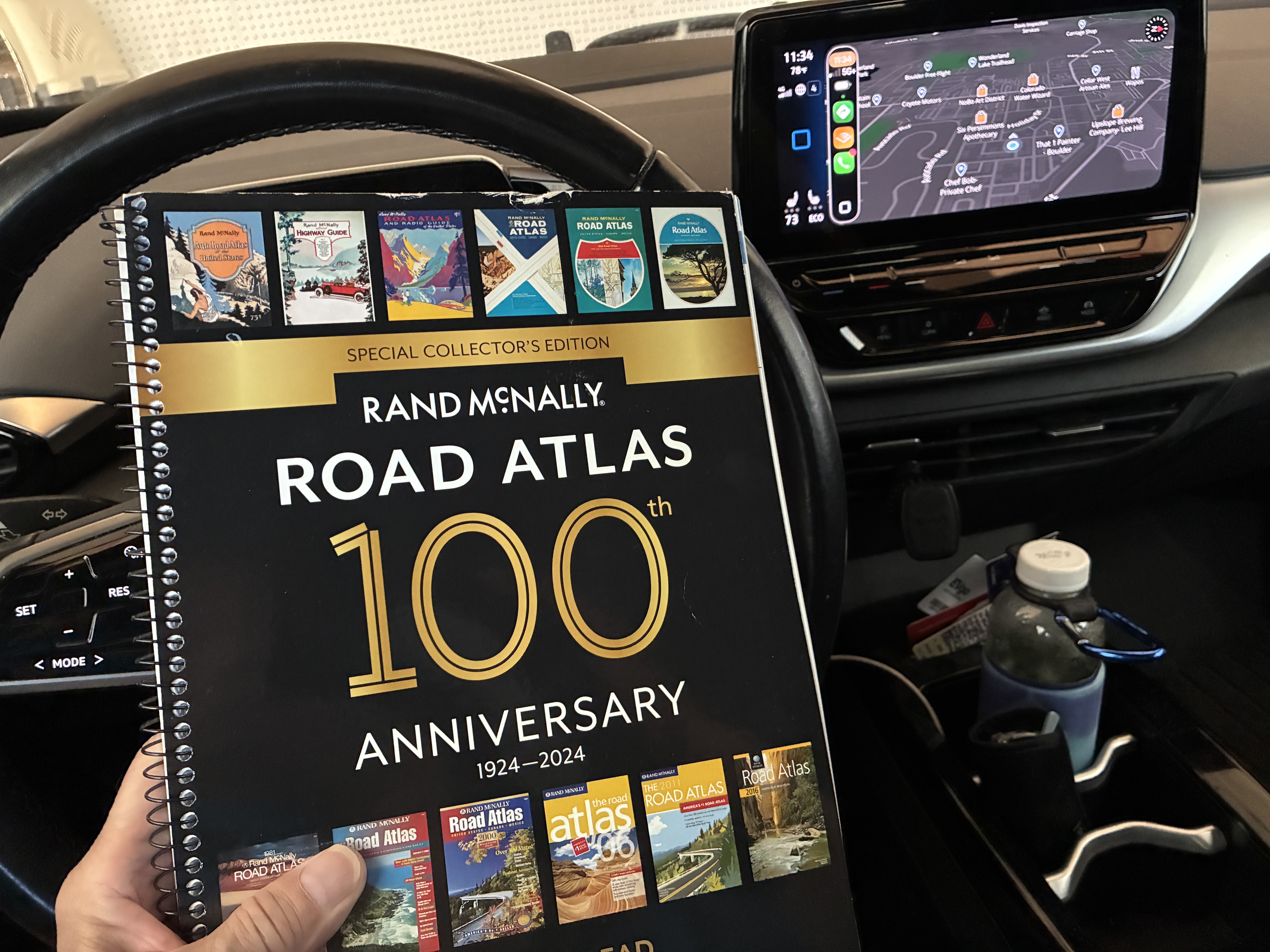
My solution?
I keep an out-of-date hard-copy Rand McNally road atlas in the pocket behind the driver’s seat, where nobody can update it while I’m driving.
While driving through the middle of nowhere, I had no cell service in eastern Colorado. The apps didn’t work. I pulled into a truck stop.
No maps.
Walmart had one.
If everything else fails, I’ll pull over, get out the atlas, stare at it for five minutes, and pretend I know where I am.
I get curious when I research my stories.
Rand McNally began in Chicago when printer William H. Rand hired Irish immigrant Andrew McNally in 1858. The company began as a traditional printing company.
In 1924, Rand McNally published the “Auto Chum,” which evolved into the road atlas that became essential reading for generations of American motorists.

