The Invasion of the Tomato Snatchers

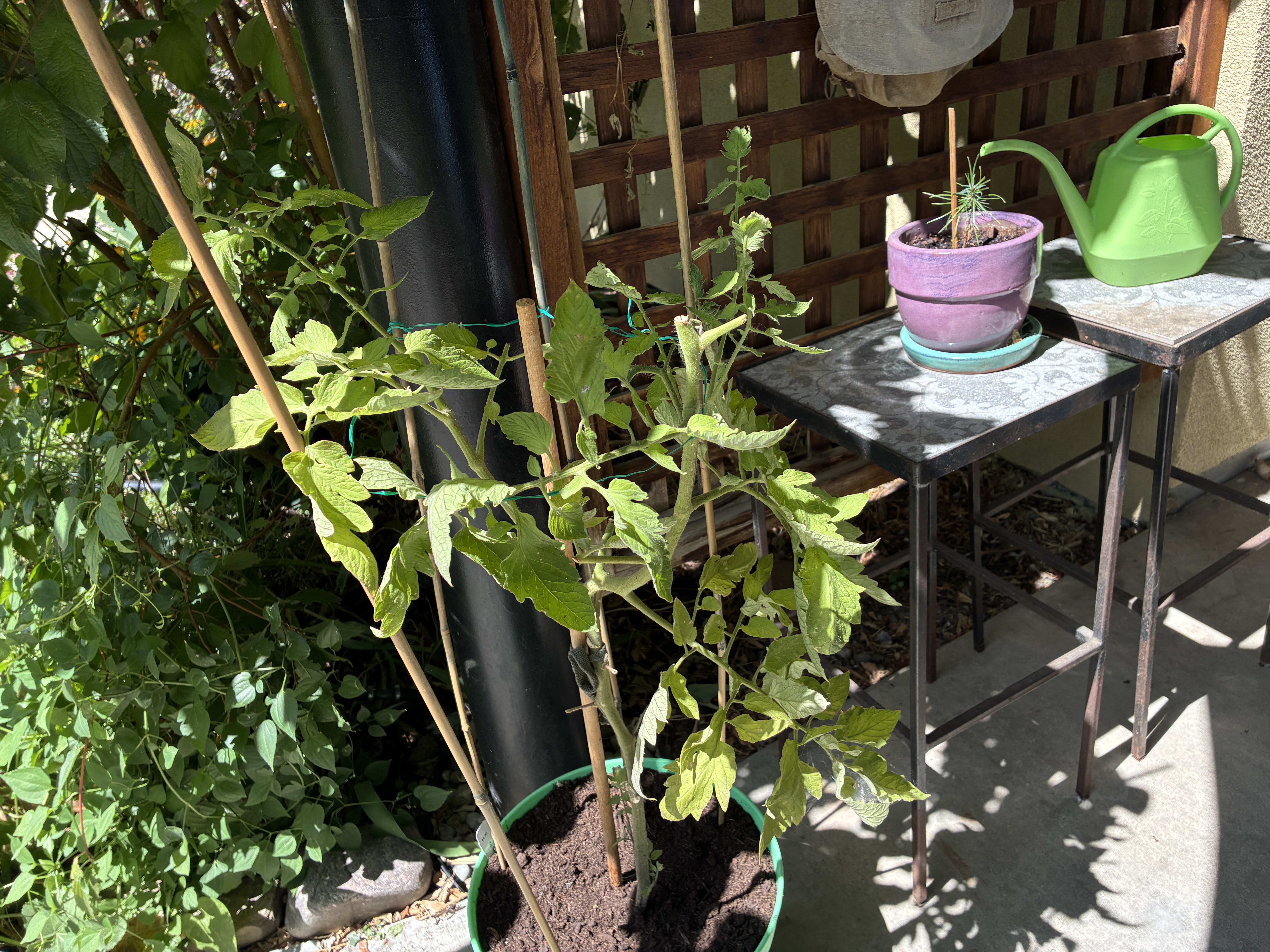
My $33 tomato venture has officially ended with the harvest of a third tomato, and the economics improved considerably, dropping the per-fruit cost to $11.

A green tomato plant in a pot with wooden stakes for support, placed beside a wooden trellis. In the background, a purple pot with a small plant and a green watering can are on a metal table.

I’m not calling it a successful business venture, but I learned to trust the division of labor and buy fresh produce from the food store.

I’ve heard that backyard gardening is a labor of love. I had optimistic thoughts of turning my brown thumb into a green one at the beginning of the summer.

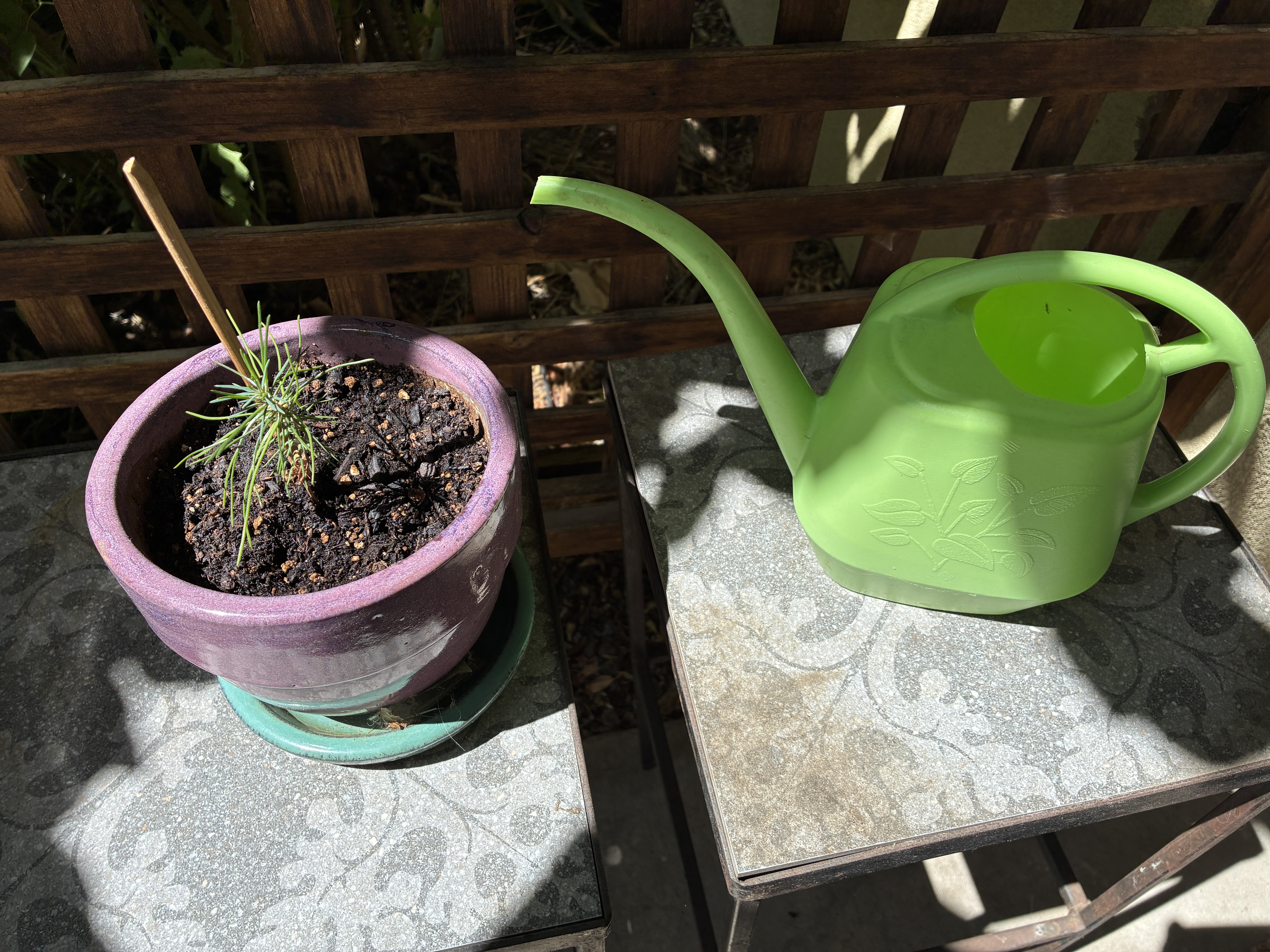
Maybe I’m more of an arborist. The avocado tree has been doing much better. I’ve been nurturing a pine tree seedling that has survived for 18 months. It’s supposed to become a bonsai-worthy tree, assuming I can keep it alive long enough to find out. I’ll bring the pine tree inside soon.

A small potted plant with green shoots in a purple pot, placed on a table next to a bright green watering can.

Across the sidewalk, I’ve been tending a patch of milkweed. Monarch butterflies migrate through Boulder in the summer, and milkweed gives them a place to lay their eggs.

They’ve grown tall, and I’ve tied them up with strong twine to keep them from flopping over and avoiding the purge by over-eager gardeners who think it’s time for them to go.

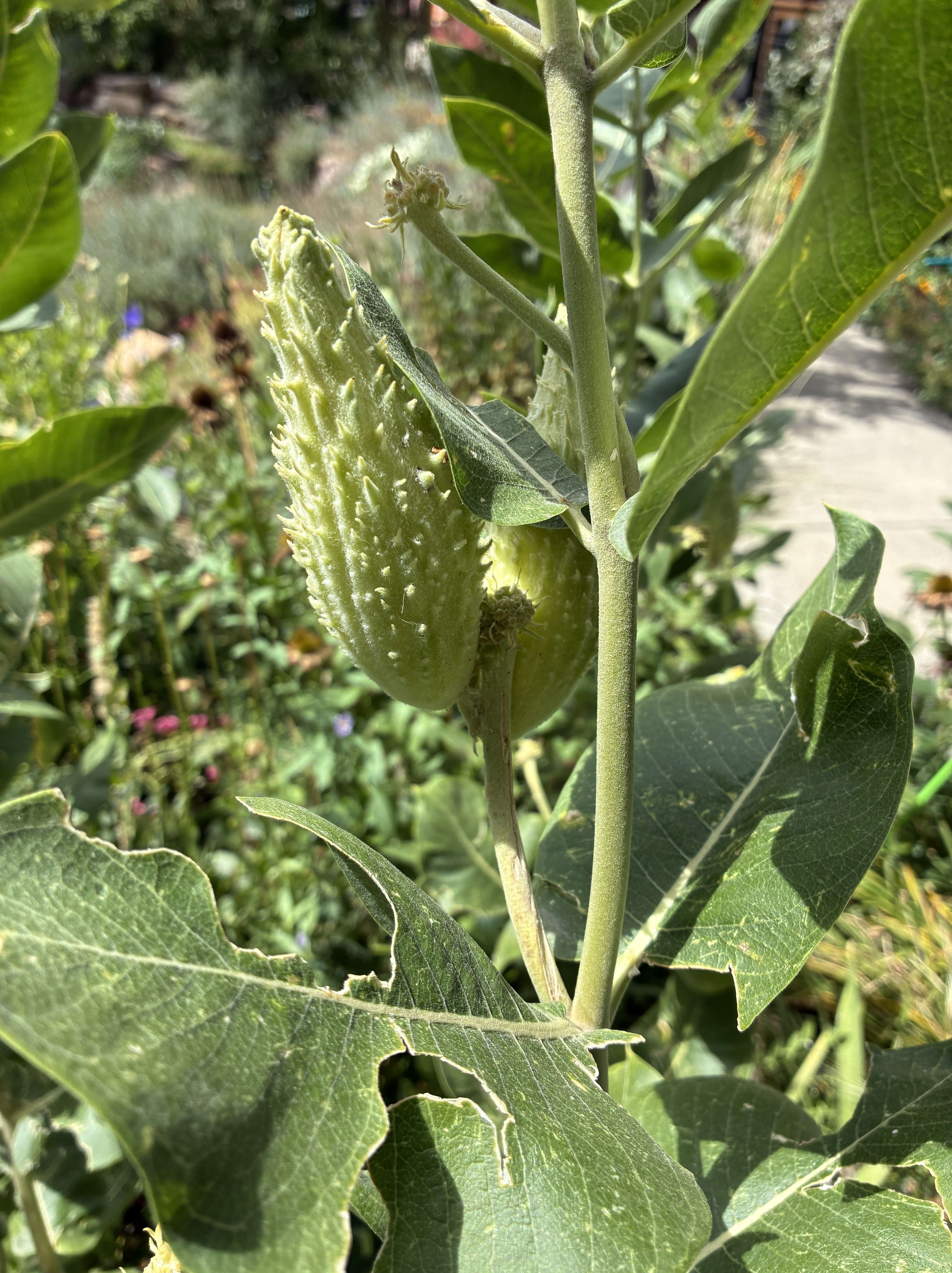
Close-up of a green, spiky fruit growing on a plant, surrounded by large green leaves.

Now the seed pods are finally forming. This is where my gardening project takes a turn toward science fiction.

The pods resemble miniature versions of the seed pods in Invasion of the Body Snatchers. In the 1956 movie, the pods are the machinery of an alien invasion.

The body-snatching Pod People grow duplicates of sleeping humans, absorbing the person’s physical form, memories, and characteristics. When the metamorphosis finishes, the original human disappears, leaving behind an emotionless replacement.

My milkweed pods, I assume, have no such ambitions.

I think of them as little botanical spacecraft carrying the next generation of milkweed seeds. The Monarchs are doing their own version of biological time travel, arriving each summer to lay eggs on the plants that will feed their caterpillars, which metamorphose into the next generation of butterflies.

I wonder who is tending whom.

I learned that this summer in my little garden, I’m not much of a farmer. Three tomatoes isn’t much of a harvest. Gardening is about the few fruits of my effort and the satisfaction of having kept an organism alive through its lifecycle.

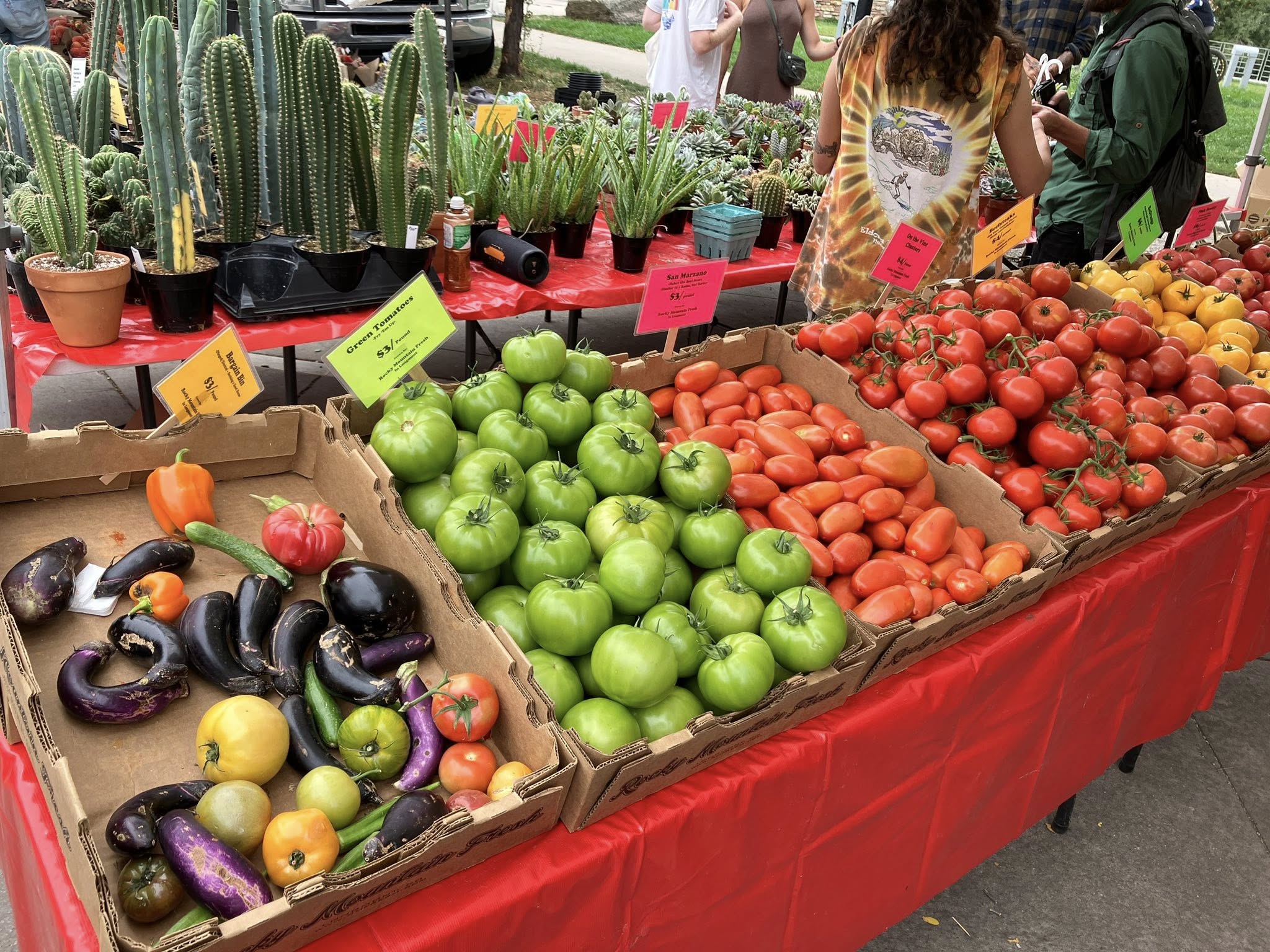
A colorful display of fresh vegetables at a farmers market, featuring green, red, yellow tomatoes, various types of eggplants, and a bell pepper arranged in cardboard boxes on a red table.

The pine tree is still growing. The avocado tree will have avocados in 20 years, and the milkweed is preparing its pods. The Monarchs have a nursery. I cut back the tomato plant, unaware that our business model had failed.

In the meantime, the farmers’ market runs through October.

MapQuest vs. Google Maps: A Personal Journey Through Navigation

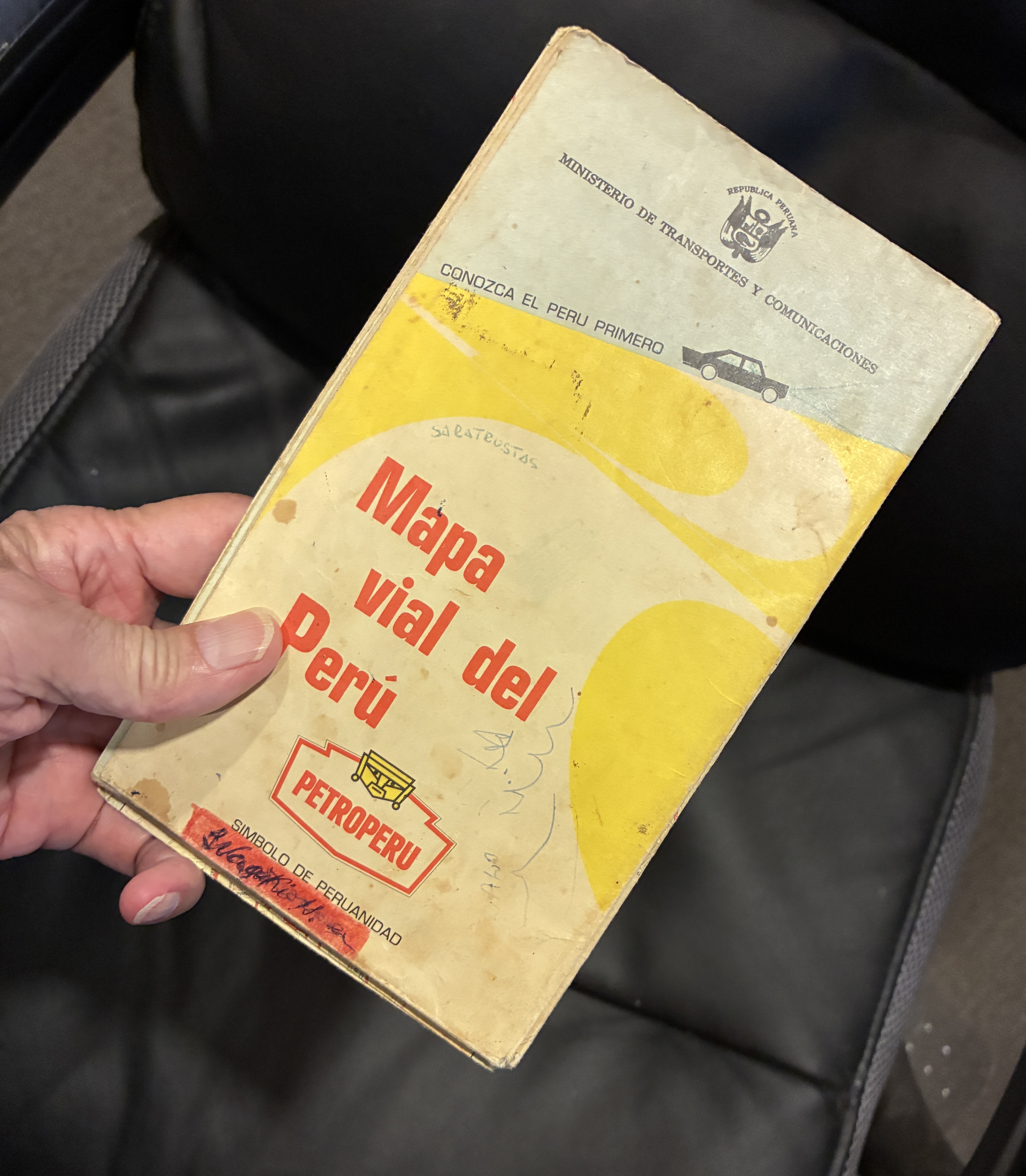
I remember when navigation meant opening a paper map and hoping I could refold the creases in the right order so the rectangular map would fit back in the glove box.

I used to keep road maps in the car. Rand McNally kept me company. AAA travel agents walked me through the maps and helped plan my route.

On family vacations, my dad stopped along the way, unfolded the map across the hood, and tried to figure out where we were.

In the 1960s, cities expanded, roads changed, and maps quickly fell out of date. Countries change names. Borders move. Entire countries disappear.

Columbus dealt with a similar problem, although his maps had considerably more blank space than mine. On his first voyage in 1492, he charted islands and coastlines in the Caribbean, adding information to the European maps. Early explorers thought they had reached Asia.

Maps have always been snapshots of what somebody thought the world looked like at a particular moment.

Africa provides plenty of examples. The Gold Coast became Ghana. Northern Rhodesia became Zambia. Southern Rhodesia became Zimbabwe. The Belgian Congo became Zaire, then the Democratic Republic of the Congo. Those changes reflected independence, revolution, political change, and the rejection of colonial names.

Then the Soviet Union became the mother of all map revisions. If you owned a map of the USSR in 1990, you had a collectible.

In 1991, the Soviet Union disappeared, and 15 independent countries emerged from its former republics. Russia, Ukraine, Belarus, the Baltic states, the Central Asian republics, and others became countries rather than chunks of a giant red blob.

Imagine being the guy at the map company who got that phone call.

“Hey, Bob. You know that giant country we’ve been printing for 40 years?”

“Yeah.”

“Well, it isn’t there anymore.”

“Great. I’ll call the printer and see if we can cancel that last order.”

The world’s constant change is one reason digital maps make so much sense. Digital maps can be updated overnight.

Then MapQuest came along.

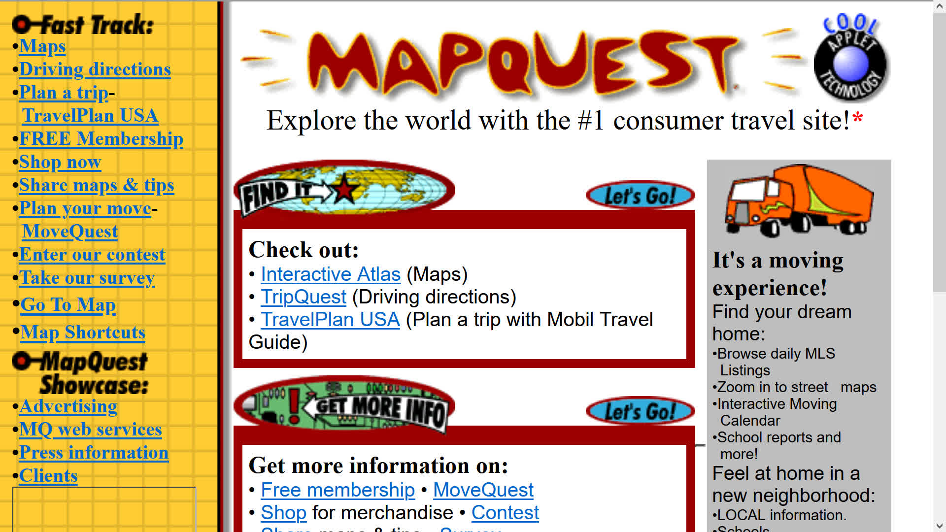
MapQuest moved the old business of producing maps and driving directions online. In 1996, it launched its web mapping service and became a pioneer of online interactive maps and driving directions. I could access MapQuest on my Palm Treo. I had to write down the driving directions, though.

In the early 2000s, MapQuest gave up its top spot to predatory Google Maps and Apple Maps. Between the two of them, they turned everybody’s phone into a dashboard navigator.

I used them both until today, when I went back to MapQuest.

There’s a reason.

In January 2025, the federal government renamed the Gulf of Mexico as the Gulf of America. The Interior Department updated the federal Geographic Names Information System and directed federal agencies to use the new name. The United States couldn’t make the rest of the world change its maps.

Then in 2026, the government changed Lake Ontario’s name to Lake America.

Google Maps and Apple Maps changed their digital maps. U.S. users see Gulf of America, while users in Mexico and Canada see Gulf of Mexico and Lake Ontario, respectively.

That’s when I decided I’d had enough and switched over to MapQuest. I’m a simple fellow and don’t like change.

It turns out MapQuest didn’t go along with the Lake America or Gulf of America renames. The OG digital map appealed to me again.

I like the idea that my navigation app won’t make me relearn geography.

At least for now.

This creates a new problem if MapQuest changes its mind.

My solution?

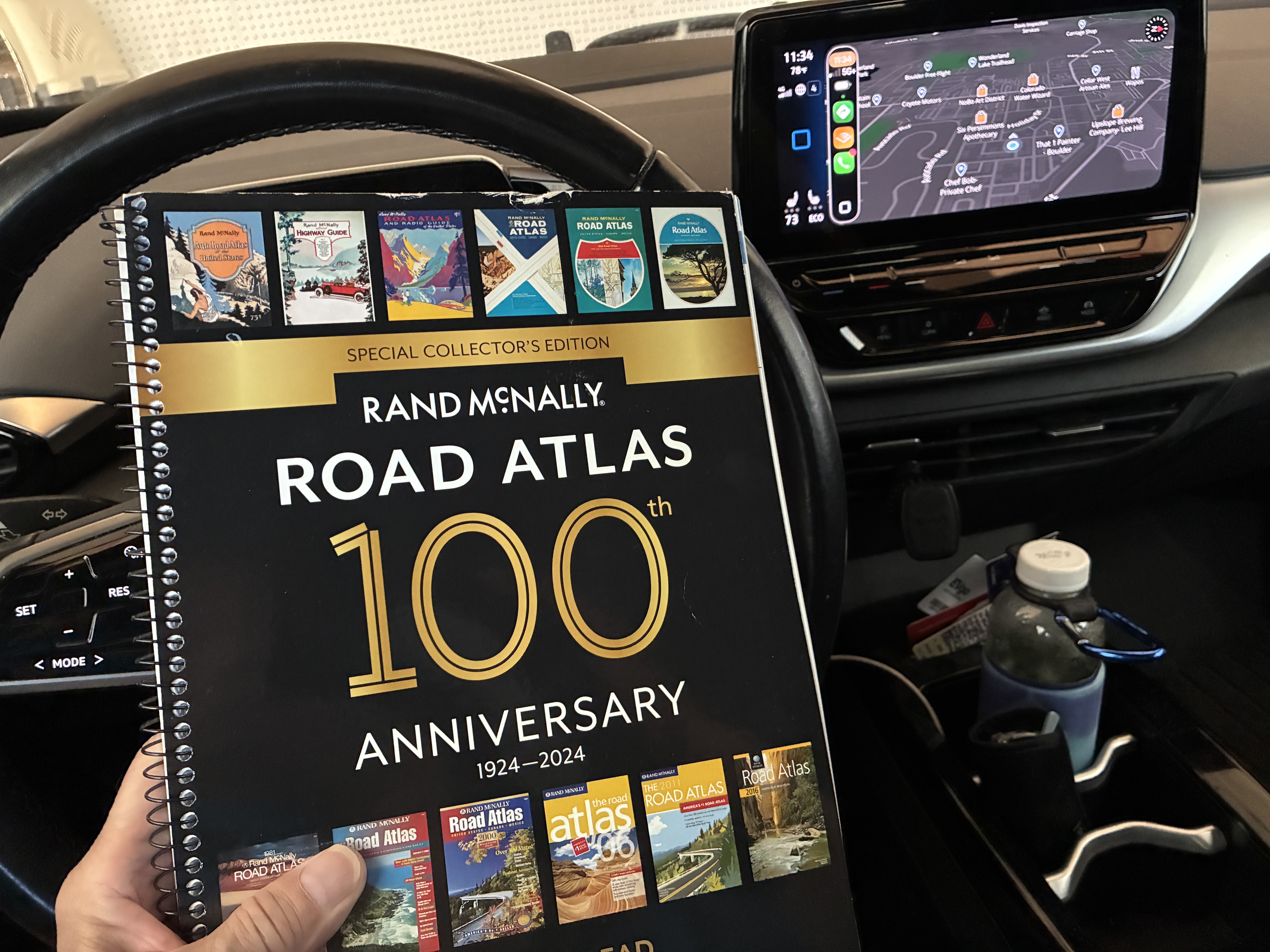
I keep an out-of-date hard-copy Rand McNally road atlas in the pocket behind the driver’s seat, where nobody can update it while I’m driving.

While driving through the middle of nowhere, I had no cell service in eastern Colorado. The apps didn’t work. I pulled into a truck stop.

No maps.

Walmart had one.

If everything else fails, I’ll pull over, get out the atlas, stare at it for five minutes, and pretend I know where I am.

I get curious when I research my stories.

Rand McNally began in Chicago when printer William H. Rand hired Irish immigrant Andrew McNally in 1858. The company began as a traditional printing company.

In 1924, Rand McNally published the “Auto Chum,” which evolved into the road atlas that became essential reading for generations of American motorists.

My Pinto’s last ride during the Big Thompson Flood

In July 1976, I was working for the US National Park Service at Rocky Mountain National Park in Colorado for a second summer. I don’t know if this had any influence, but I had befriended Wayne Aspinall who was a guest scholar at the University of Wyoming political science department when I was in grad school there.

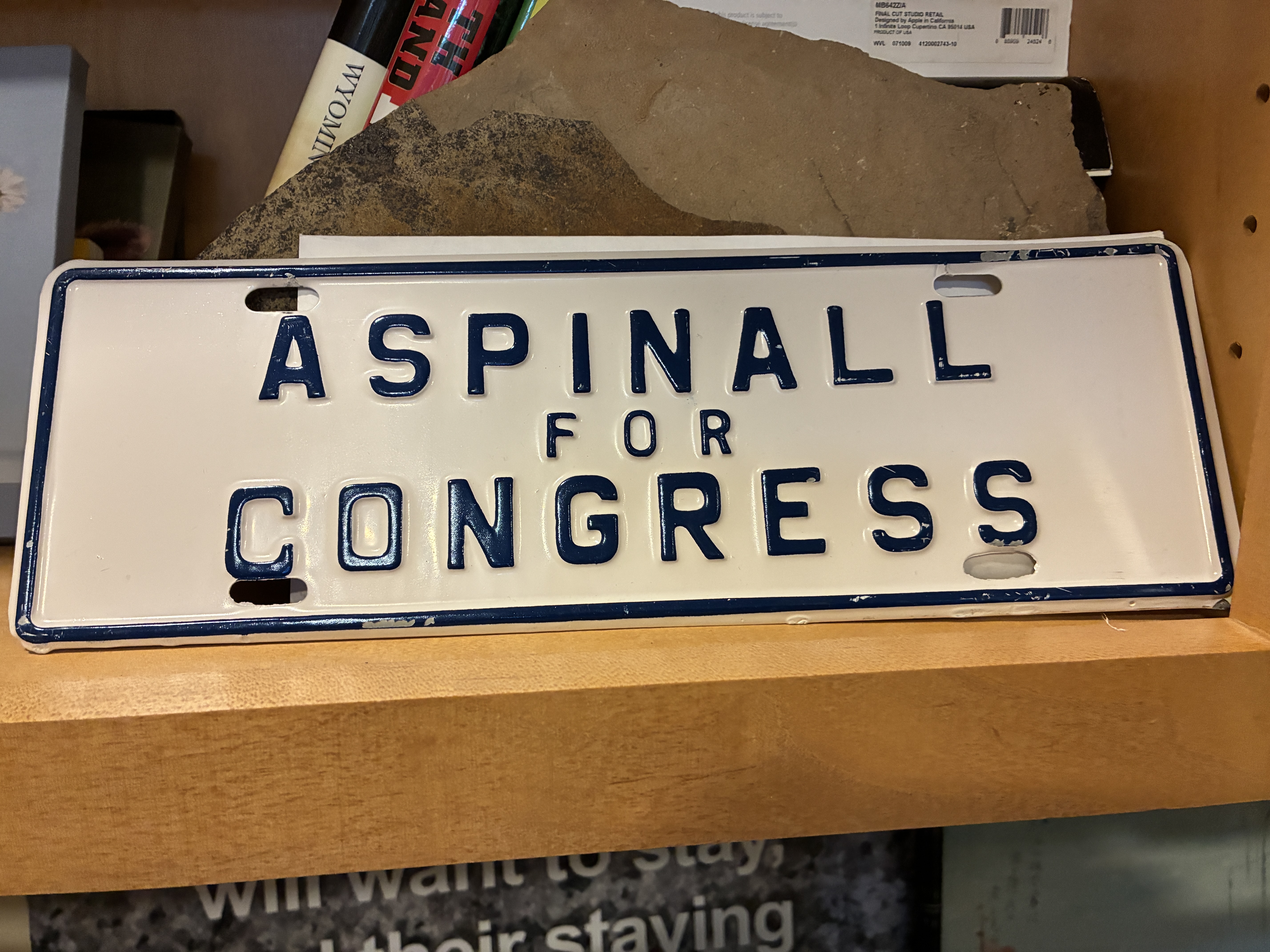
Wayne was the former chair of the US House Committee on Interior and Insular Affairs, a position he held for 14 years. I collected one of his campaign license plate toppers.

Back in those days I was a College Republican and we had some spirited discussions in class. Despite our ideological differences, he offered to write a few letters of recommendation for me to the USNPS in support of my job application.

I was told park ranger jobs were hard to come by and was happy to be hired to my first choice, since I applied all over the country.

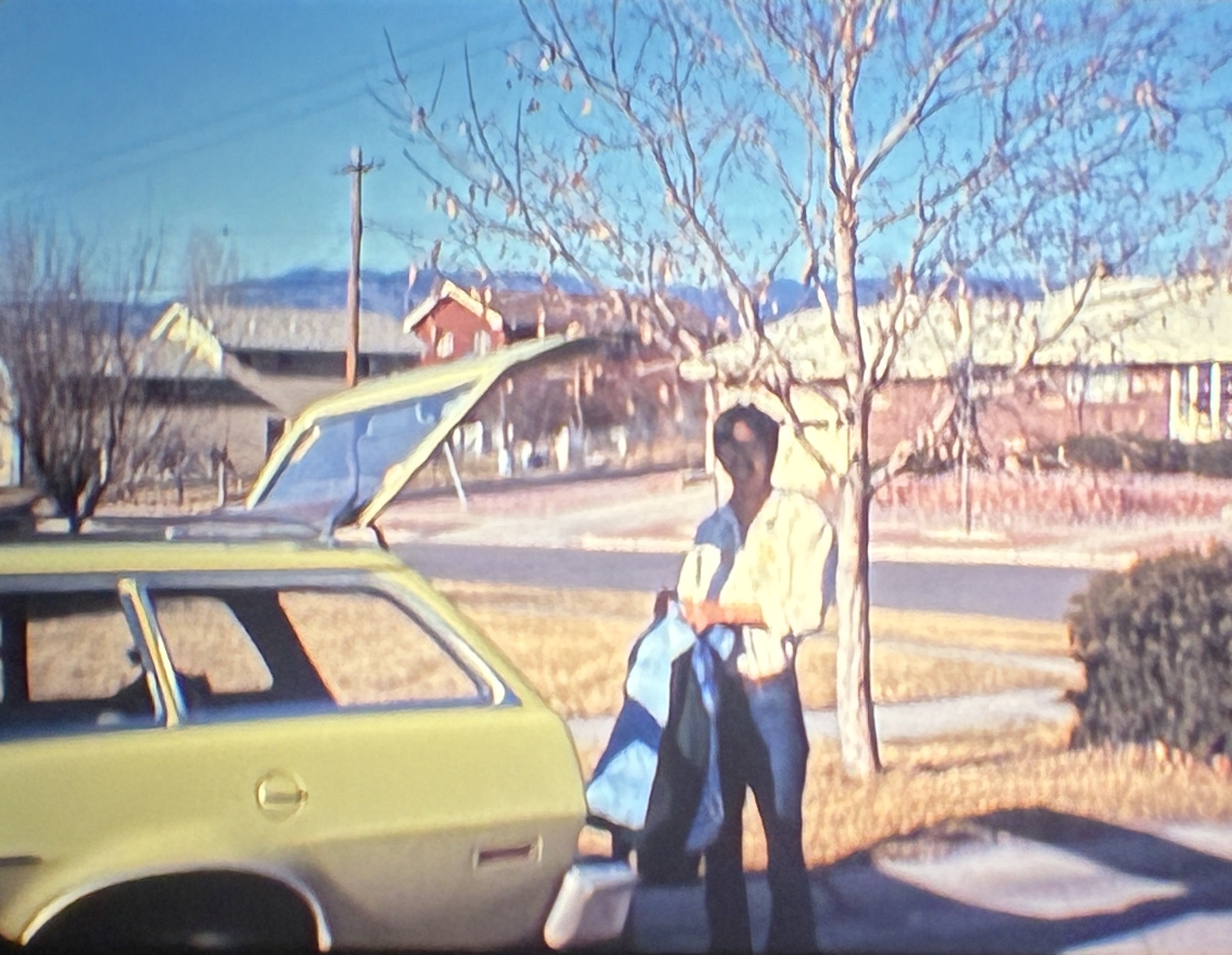
Anyway, I drove my pea green Ford Pinto to Cheyenne Frontier Days the last weekend in July. I met up with my friends Rick Thamer, John Accardo et al. for a weekend of jocularity. The Mayflower was still open and Downtown Cheyenne was still a happening place during CFD.

I don’t know what got into me, but I’ve never been one to miss out on the last weekend of “The Daddy of ’em all”.

It was Saturday night and rather than crash in Thamer’s basement, I chose to drive back to Colorado, over the very logical arguments posed by my friends. I had to work at the Glacier Basin Campground at 11:00am.

I would have made it in plenty of time.

When I turned onto Highway 34 into Loveland, the horizon was crimson red and solid black. “Red sky at night, sailor’s delight” – should be no problem.

After driving through town and entering The Narrows, a caravan of cars, trucks and RVs headed east on US 34. Why was I the only one heading west, toward the park?

I met a Colorado highway patrolman. He told mee there was some “bad water” ahead and to turn around at Drake.

I didn’t quite make it that far.

There was water streaming across the highway. All of a sudden, something that I couldn’t make out, was in the middle of the road in about six inches of run off. Then, uprooted trees, unrecognizable junk and debris floated by. I expected to see the Wicked Witch of the West hover by.

The car careened into the rising wall of water and suddenly the deluge came up to the hood of the car that stalled. There was a car filled with a family heading the opposite direction that had the interior lights on. That sedan floated to the edge of the road and then was swept away into the canyon’s darkness.

A porta-potty floated over and caught my bumper and ruddered the Pinto towards the canyon wall and not into the torrent. I wasn’t able to open the car door, but climbed out of the driver’s side window and waded to higher ground.

A few minutes later a State Highway Department truck pulled up with a bunch of other people. I climbed up and we were all dropped off at Rainbow Bend where we were allowed to crash in the guest bungalows there.

I can sleep through anything.

The next morning, when the waters subsided, the road was totally washed out, trophy-sized fish lay on what was left of the highway. The canyon wall was plastered with pine trees, crumpled trailers and cars. The little store at Rainbow Bend had food, I ate some cold hot dogs.

I don’t know how the rumors started, but we spent the day on high ground since word came from someplace that the Estes Park reservoir dam was ready to crest.

A Chinook helicopter eventually dropped in and flew us out to a Red Cross station in Loveland. The only thing I took from the provisions was a dry pair of socks.

When the big floods hit Colorado’s Front Range in September 2013, I had no desire to get out and inspect any of the high water or its aftermath. As it was, the radio news didn’t indicate any problems. I decided to leave Cheyenne and was stuck in Longmont and being anecdotally guided through town by facebook cronies.

All the routes on the Diagonal and SH 66 were all flooded out, except SH 66 to I-25 to Thornton – SH 402 exit closed; Johnstown exit closed, Berthoud exit closed.

I eventually snaked my way from 120th to US 36 and luckily the westbound lane was open. Overnight, the St Vrain River crested and filled the low spot between US 34 and SH 402. I would have been stranded for several days somewhere north of Longmont.

Okay, back to the story.

There was no reason to stick around Loveland. I bummed a ride to Cheyenne and was dropped off at the Leeper’s house on Oak Court. My family in Laramie was trying to make contact, but there was no phone service. I called home from Cheyenne and was picked up and carted over to Laramie.

There was no access to Rocky Mountain Park for several days. I was eventually able to drive the “family truckster” – an olive green Mercury station wagon with the fake wood paneling – back to work. My boss, Perry Thompson, was gracious enough not to dock my pay for the days I was gone.

The big regret at the time?

All my ranger pals were getting double time and a half for working the rescue, while I was one being rescued. I never did find out if my car turned up anywhere. It probably became rip-rap in Nebraska.

When it was all said and done, I was immediately issued a check by my insurance company and I purchased a sky blue Pinto wagon. I might add, it was involved in a rear end collision with an oil field truck while I was living in Gillette, Wyoming.

My housemate at the time, Tom Padget, worked over the insurance company for a settlement. The differential bolt was dented up against the gas tank, which, had it burst, the tank would have caused at least a fire.

The Pinto goes full circle.

I ended up selling the car to Rick Thamer who drove it to law school in Lubbock, Texas, where he and his wife Janie live today.

After the Big Thompson Flood event, I thought I was living on borrowed time and lived life a bit recklessly while in wild and crazy Gillette. I altered my perspective that I was given another chance, for some reason.

Hmmm, next up will be the attitude adjusting UFO incidents.